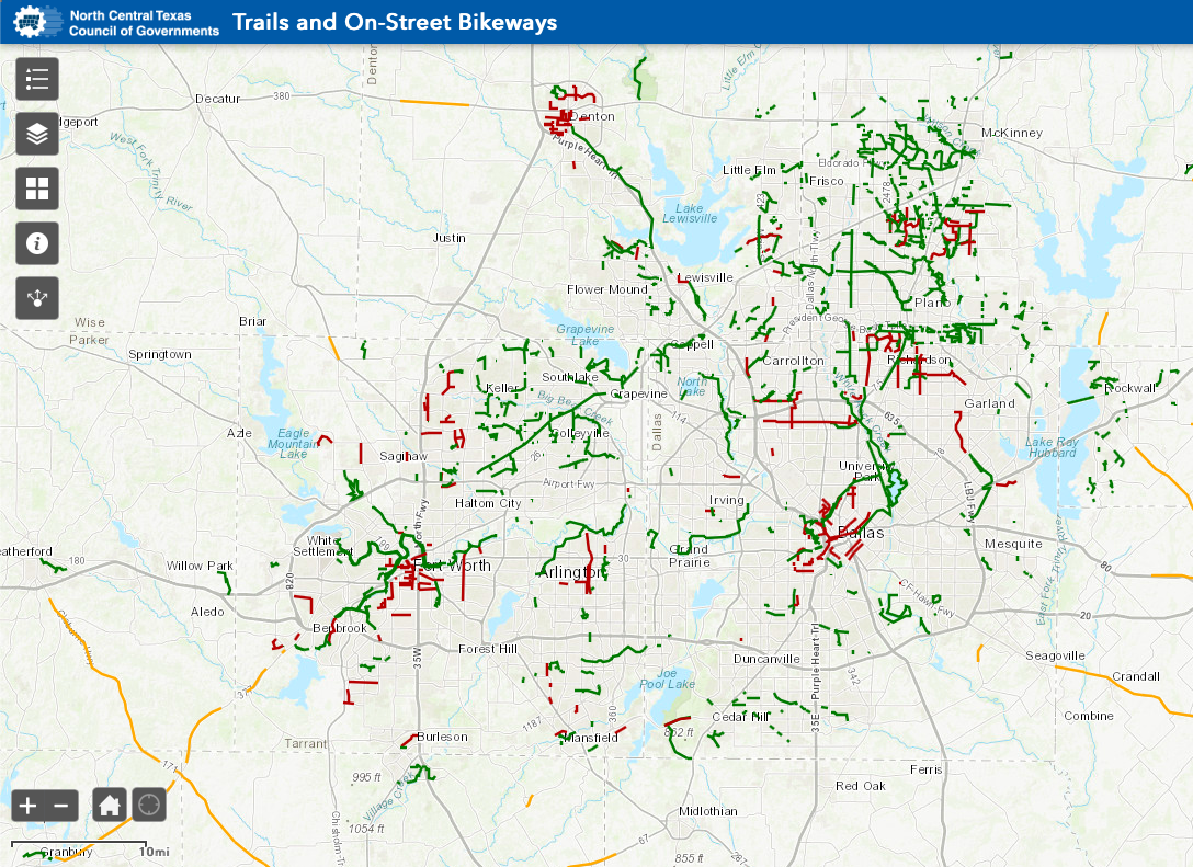
Every year DFW is gaining more on-street bike lanes and off-street bicycle highways and trails.
Find your best route with these great resources:
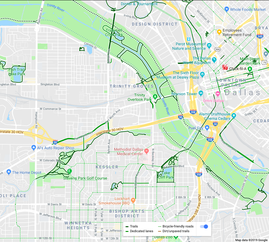
Google Maps with bicycle layer on:
On a desktop
- Click the Menu button
- The section with layers Globe, Traffic, Transit, Bicycling, and Street View will show you the best cycling routes when the Bicycling layer is selected.
- You’ll see on-street bike lanes in green, off-street paved trails in black, recommended bike-friendly streets in dashed green, and unpaved gravel trails in dashed black.
Strava App

